York Leyline
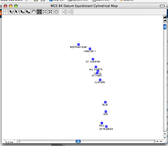
Went out for a walk into York this Sunday so tried to input WayPoints for the York Ley Line including Clifford's Tower, St Mary's, All Saints and the Minster. The granularity seems quite good (or is it just inaccuracy I don't know) because as I walked around the Minster, the route appeared sort of outlining the building. That seems brilliant to me.
Now, how do I get a decent map both in MacGPSPro to underlay this... or on the Garmin... I have no idea. Do I need a Fugawi map or are there any free alternatives... Help anyone...
posted by More Juice at 2:45 AM
![]()

0 Comments:
Post a Comment
<< Home